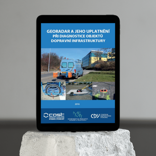
E-book
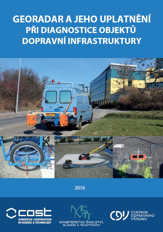
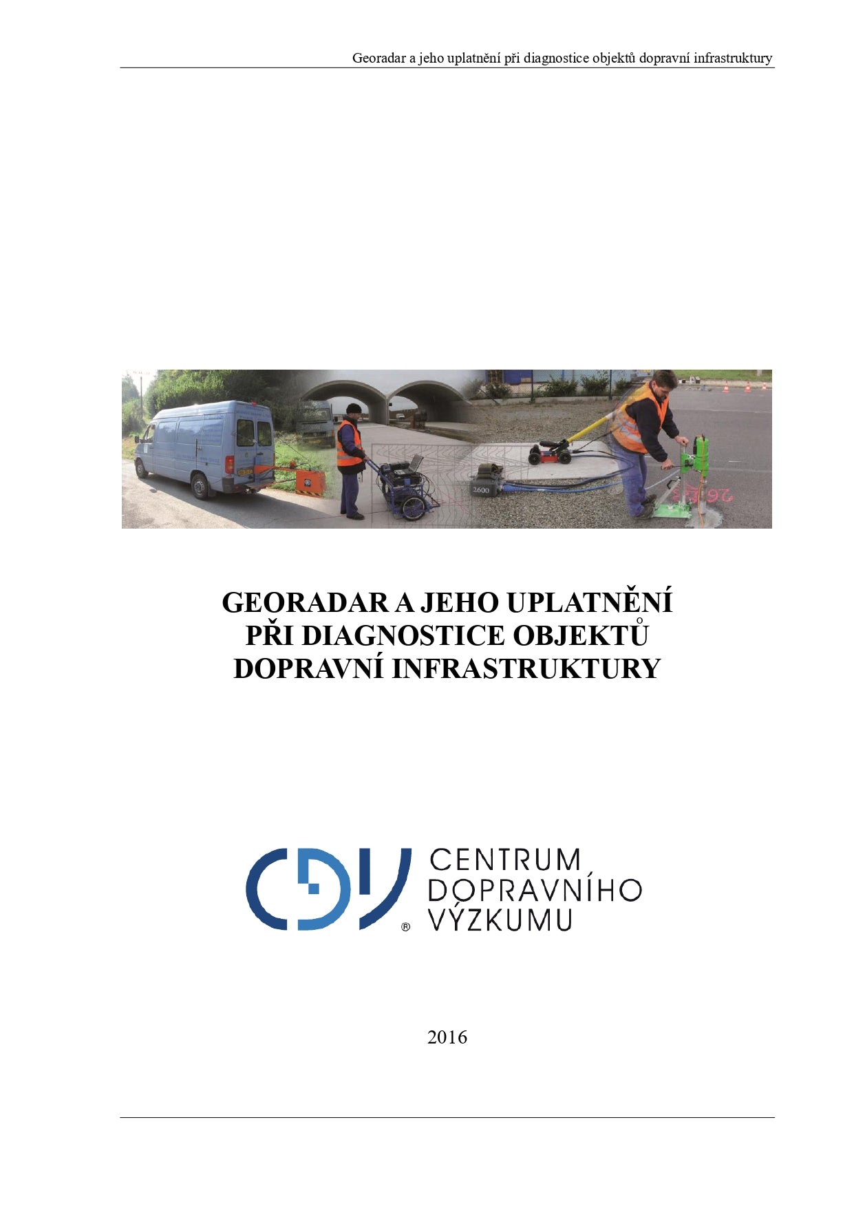
Georadar and its application in the diagnosis of transport infrastructure objects
Georadar and its application in the diagnosis of transport infrastructure objects
Couldn't load pickup availability
The research presented in the publication is mainly focused on two basic applications, namely the determination of the position of embedded reinforcement in concrete and the determination of layer thicknesses in roadways.
The book covers measurements in laboratory conditions and in situ, optimization of GPR apparatus settings, verification of new calibration methods and evaluation of measured data. The effect of the measurement speed on the achieved results was investigated, as well as ways to refine the localization (determining the position of the antenna during measurement).

Detail
Author
- Matula R.
- Stryk J.
- Pospíšil K.
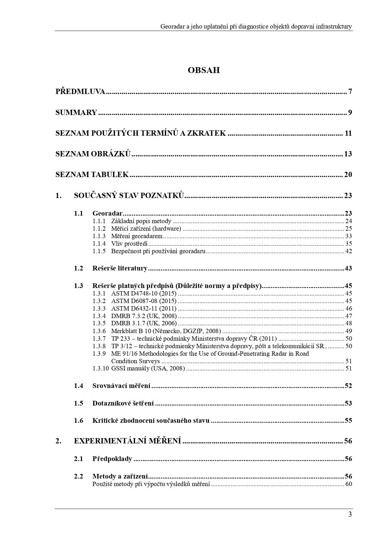
Content
1. CURRENT STATE OF KNOWLEDGE
1.1 GPR
1.2 Literature review
1.3 Search for applicable regulations (Important standards and regulations)
1.4 Comparative measurement
1.5 Questionnaire survey
1.6 Critical evaluation of the current state
2. EXPERIMENTAL MEASUREMENT
2.1 Prerequisites
2.2 Methods and equipment
Methods used in the calculation of measurement results
2.3 Comparative measurement and calibration of equipment
Device functionality verification
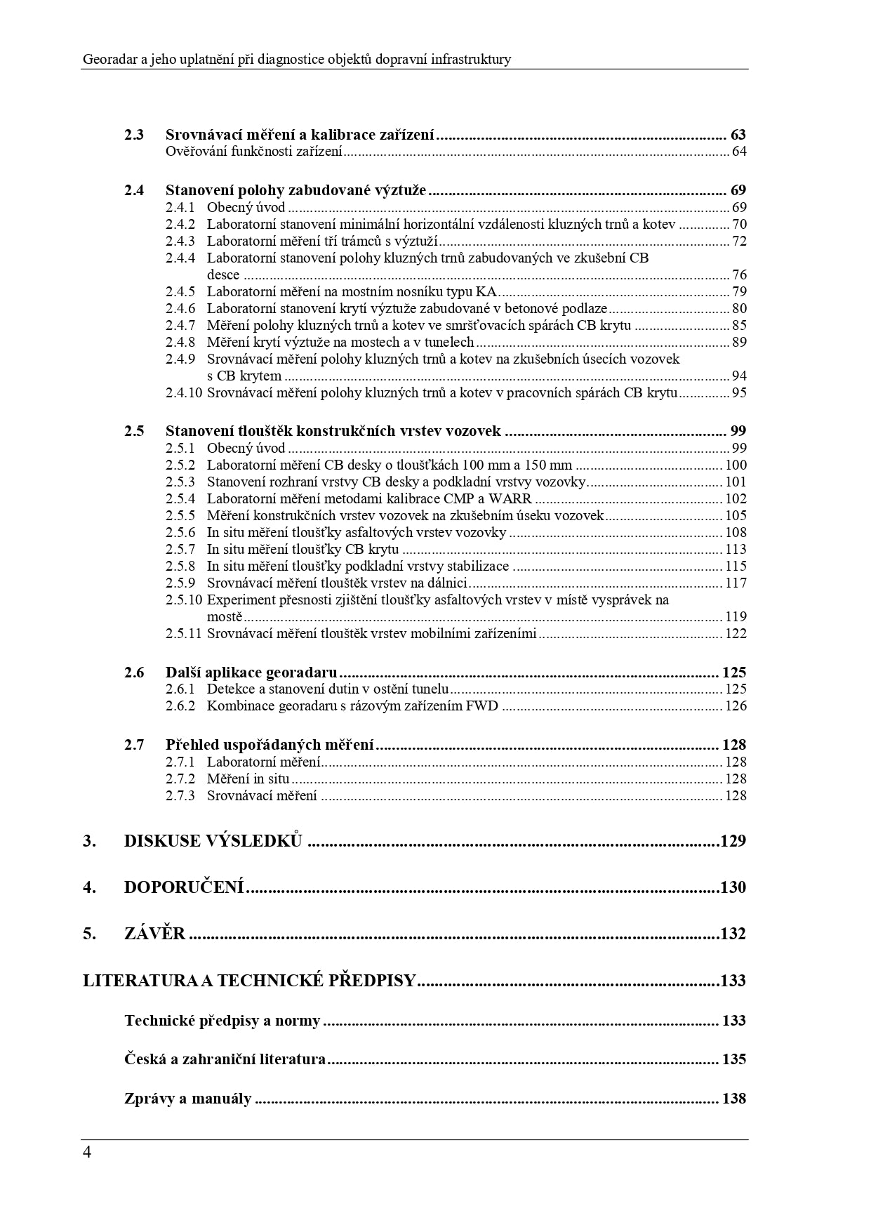
2.4 Determination of the position of the built-in reinforcement
2.5 Determining the thicknesses of structural layers of roadways
2.6 Other GPR applications
2.7 Overview of ordered measurements
3. DISCUSSION OF RESULTS
4. RECOMMENDATIONS
5. CONCLUSION
LITERATURE AND TECHNICAL REGULATIONS
Technical regulations and standards
Czech and foreign literature
Reports and manuals
Dedication
This book was created as part of the Ministry of Education, Youth and Sports national project No. LO14029: "Use of georadar in civil engineering in the Czech Republic", which was implemented in connection with the European action COST TU1208: "Civil Engineering Applications of Ground Penetrating Radar".
Colophon
Year of publication
2016
